









































































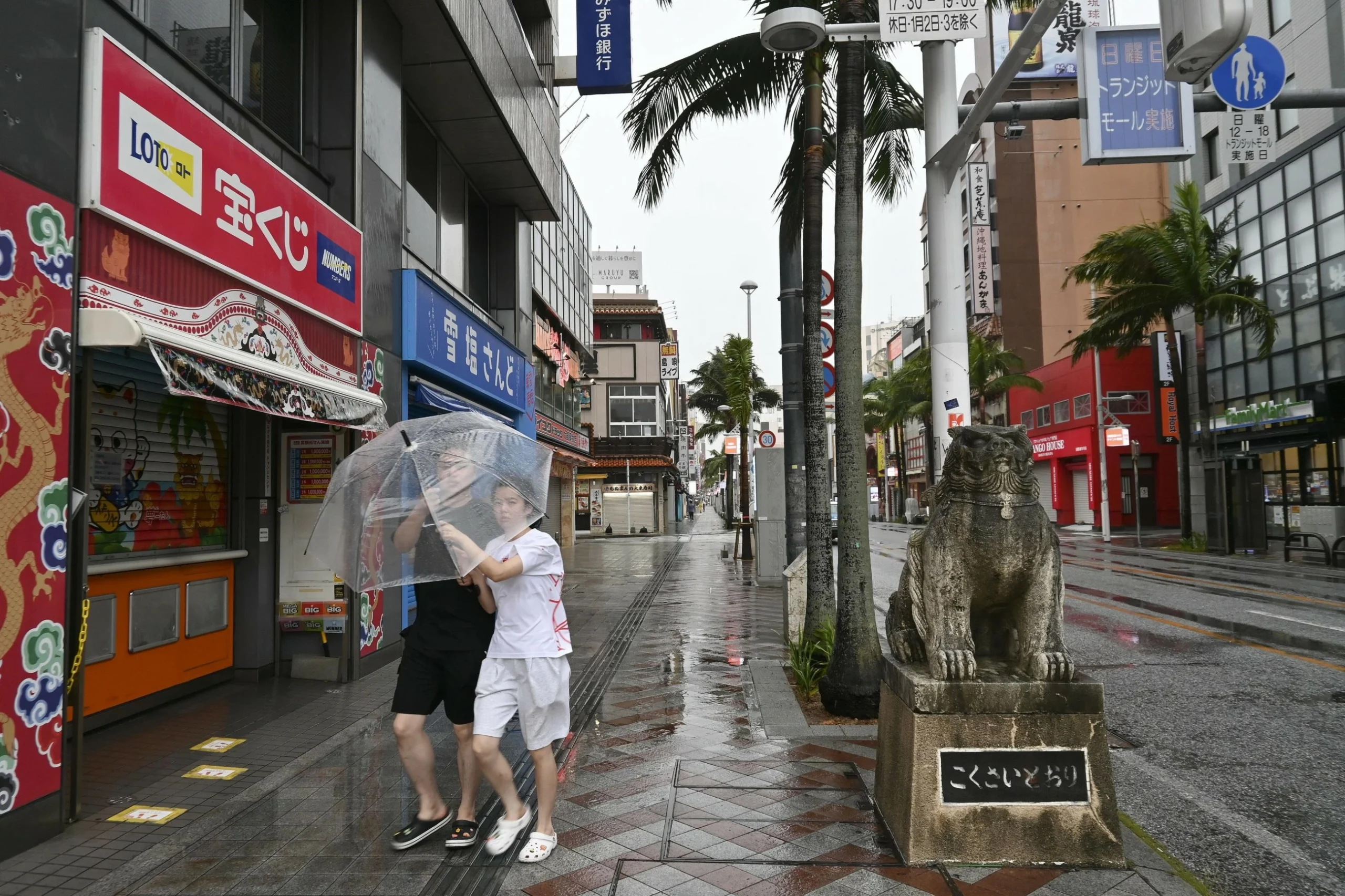
Typhoon Dolphin struck Japan’s southern Okinawa prefecture on Saturday, causing significant disruption with power outages affecting over 50,000 buildings and leaving six people injured. As the storm moves forward, authorities in China have initiated emergency protocols, shutting down ports and halting ferry services in anticipation of the typhoon’s arrival on the east coast.
In Okinawa, five elderly individuals sustained injuries, three of whom fell due to powerful winds, while another person was injured in Kagoshima prefecture. Officials reported that approximately 39,000 buildings in Kagoshima and 12,000 in Okinawa lost electricity. Major carriers, including ANA and Japan Airlines, were forced to cancel domestic flights to and from the region.
The storm is packing maximum sustained winds of 162 kph (90 mph), with gusts reaching up to 216 kph. While Okinawa and Amami island remain the primary areas of concern in Japan, the storm continues to track toward the Chinese mainland.
In China, where the typhoon is expected to make landfall between late Sunday and early Monday, authorities have designated Dolphin as an orange-category typhoon. Concerned by the risk of flooding and landslides, officials raised the emergency response level to level III, the second-lowest tier.
According to China’s National Meteorological Centre, the typhoon is most likely to make landfall between Zhoushan city in Zhejiang province and Fuding city in Fujian province. It is expected to maintain winds of 38-45 metres per second (85-101 mph) near its centre upon arrival.
China’s National Marine Forecasting Centre maintained its highest, red-level warning for waves on Saturday, forecasting 5-to-8-metre (16-to-26-foot) waves in coastal waters off Zhejiang through Sunday afternoon. Additionally, under an orange-level warning, waves in coastal waters off Shanghai and northern Fujian are expected to reach 3 to 5.5 metres.
Chinese authorities issued five weather and disaster warnings on Saturday evening, including orange alerts for heavy rain and geological-disaster risks, alongside a red alert for mountain torrents. Rain and strong winds are projected to affect eastern China through August 12, with some areas potentially seeing short bursts of rainfall exceeding 80 mm an hour.
Zhejiang, a major manufacturing and export hub, has raised its coastal typhoon alert to the highest level and halted port operations. Ningbo Lishe International Airport in Zhejiang announced it would suspend all flights on Sunday, while Shanghai’s Yangshan port was cleared of vessels by late Friday. Some rail services in the Yangtze River Delta will also be suspended starting Sunday.
Beijing authorities confirmed they are monitoring the storm’s path and preparing flood-control and evacuation plans for the capital. Meanwhile, in Taiwan, the government reported that 78 flights, mostly international, were cancelled. While heavy rain is expected in northern Taiwan, no evacuations had been ordered as of Saturday.
Tensions have flared regarding the storm’s impact on maritime transit. China ordered that ships passing through the Taiwan Strait must heed its traffic control instructions. Taipei denounced these measures as “ridiculous,” asserting that Beijing has no right to restrict access to international waters. China claims the strategic strait as its own territory, a position rejected by both Taipei and Washington.
Nearly 39,000 buildings were without power in Kagoshima while just over 12,000 were affected in Okinawa.
Source: Gulf Today